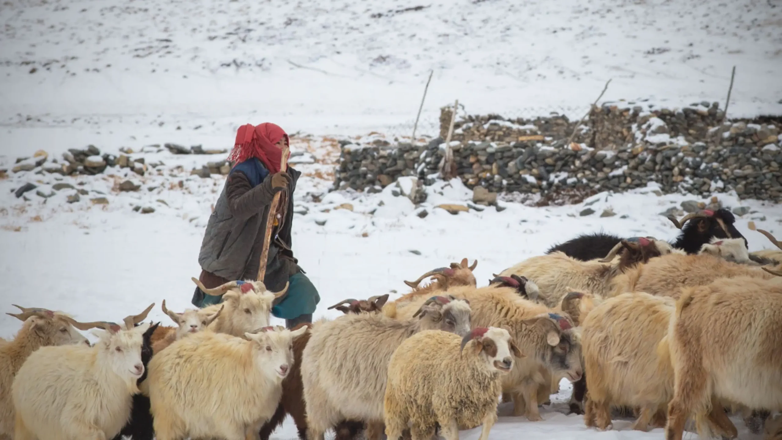
Nubra Chronicles – Volume 1
The Silk Route and Untold Stories
Long before Nubra became a destination on a Ladakh itinerary, it was a valley of orchards, caravan stops, mountain passes and historic settlements. Its story was shaped by the people who lived here and the traders who crossed the Karakoram on their way to Central Asia. Beyond the familiar sand dunes and monasteries, traces of this past can still be found in old villages, historic sites and local memories.
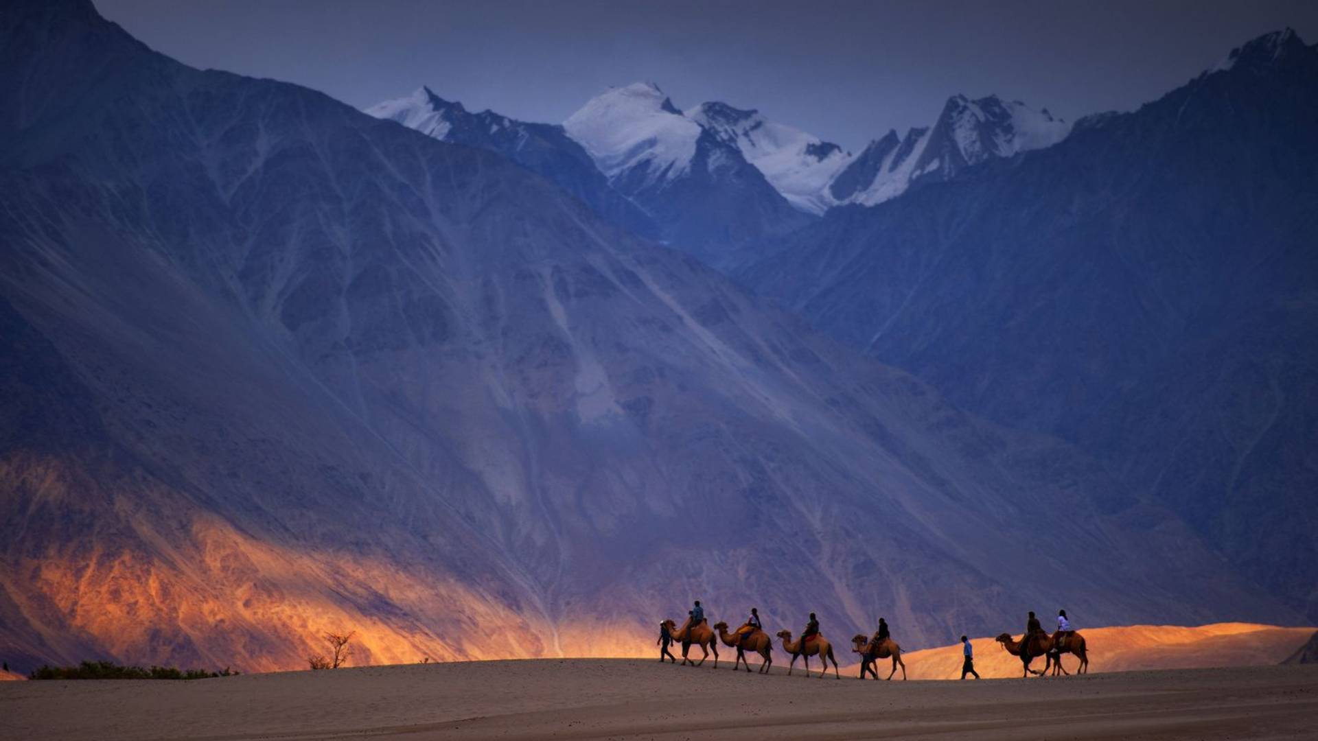
Nubra is often introduced to visitors through its sand dunes, double-humped camels and the imposing mountains of the Karakoram. Yet its older identity tells a different story.
The region was traditionally known as Ldumra, meaning the “Valley of Flowers.” The name reflects the contrast between its relatively fertile settlements and the barren, high-altitude mountains surrounding them. Where glacial rivers bring water, villages sustain fields, poplar and willow trees and fruit orchards flourish.
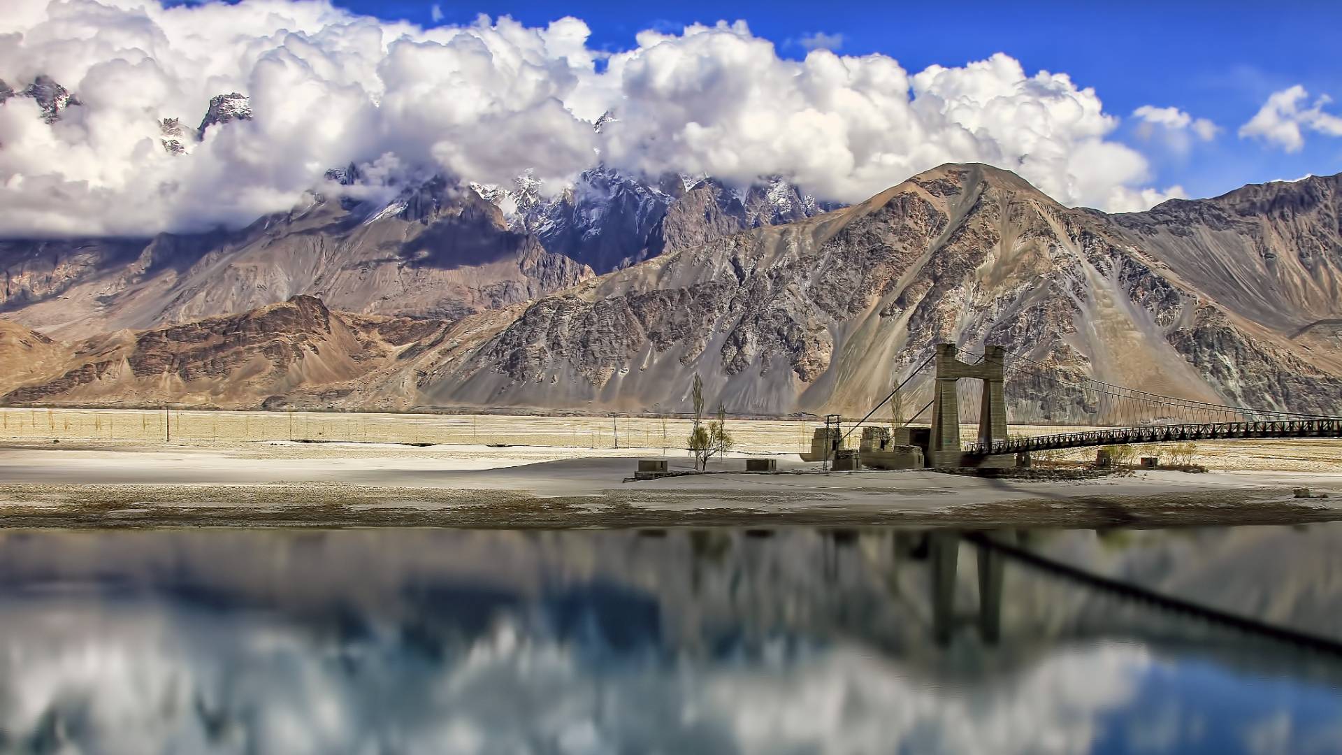
Situated north of Leh, between the Ladakh and Karakoram ranges, Nubra is shaped by two major rivers: the Shyok and the Nubra, also known as the Siachen River. They meet near the central settlements, creating a broad valley with several branches.
This geography explains much about Nubra’s history. Its river-fed settlements supported agriculture, while the surrounding mountains shaped the routes people followed to reach neighbouring valleys and distant trading centres.
Two Rivers, Different Histories
The Shyok corridor runs through settlements such as Diskit and Hunder and continues towards Turtuk. Today, it is associated with Nubra’s sand dunes and popular visitor stops, but its villages also reflect the region’s agricultural life and long-standing connections across the valley.
The Nubra River corridor, also known as the Siachen River corridor, passes through Sumur and Panamik before continuing towards the upper valley. Here, old settlements, monasteries and historic sites offer a closer look at the communities that developed along this river.
The distinction matters. Nubra is not a single landscape with a handful of attractions, but a region with different settlement histories and routes of movement. Following each river corridor reveals a different part of that story.
When Nubra Was a Passage
For centuries, Ladakh formed part of a network of trans-Himalayan trade routes connecting the Indian subcontinent with Central Asia. Nubra was an important link between Leh and the routes leading towards Yarkand, in present-day Xinjiang, China. The people travelling these routes were merchants, caravan handlers, porters and guides. Their journeys depended on mountain passes, seasonal conditions and settlements that could provide food and fodder for their animals.
Panamik was one such stop. Historical accounts describe caravans arriving from Yarkand and resting there to feed and recover their animals after difficult stretches of travel. Grain and fodder were essential supplies, making villages along the route important to the wider trading network. The summer route from Leh crossed the Ladakh Range and continued through Nubra towards Saser Pass and the Karakoram Pass. From there, travellers could continue towards the Central Asian trading centres. Winter travel followed different alignments depending on snow, ice and river conditions.
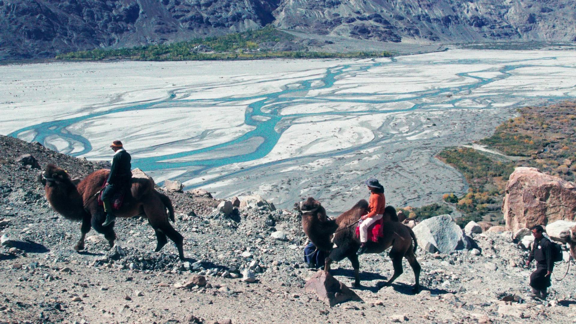
These were demanding journeys. Historical travel accounts describe difficult river crossings, scarce supplies and the challenges of moving pack animals through high-altitude terrain. The Bactrian camels now seen at Hunder’s sand dunes offer a reminder of this trading past. Today, they are part of the visitor experience; historically, double-humped camels were associated with the wider caravan economy of Central Asia.
The old trade routes eventually closed to regular cross-border commerce in the mid-20th century. One historical account records the last major caravan on the Nubra route in 1939–40. The landscape remained, but the movement of people and goods that had sustained these connections changed.
Beyond the Familiar Circuit
Diskit Monastery, Hunder’s sand dunes, Sumur and Panamik’s hot springs are among Nubra’s best-known attractions. Yet some of the region’s most interesting historical stories lie beyond these familiar stops.
Charasa: A former royal capital
The village of Charasa was once the winter capital of the King of Ladakh. Its historical significance offers a different way to understand Nubra—not just as a frontier valley, but as a place that held a role in the region’s political history.
Petroglyphs, shrines and forgotten travellers
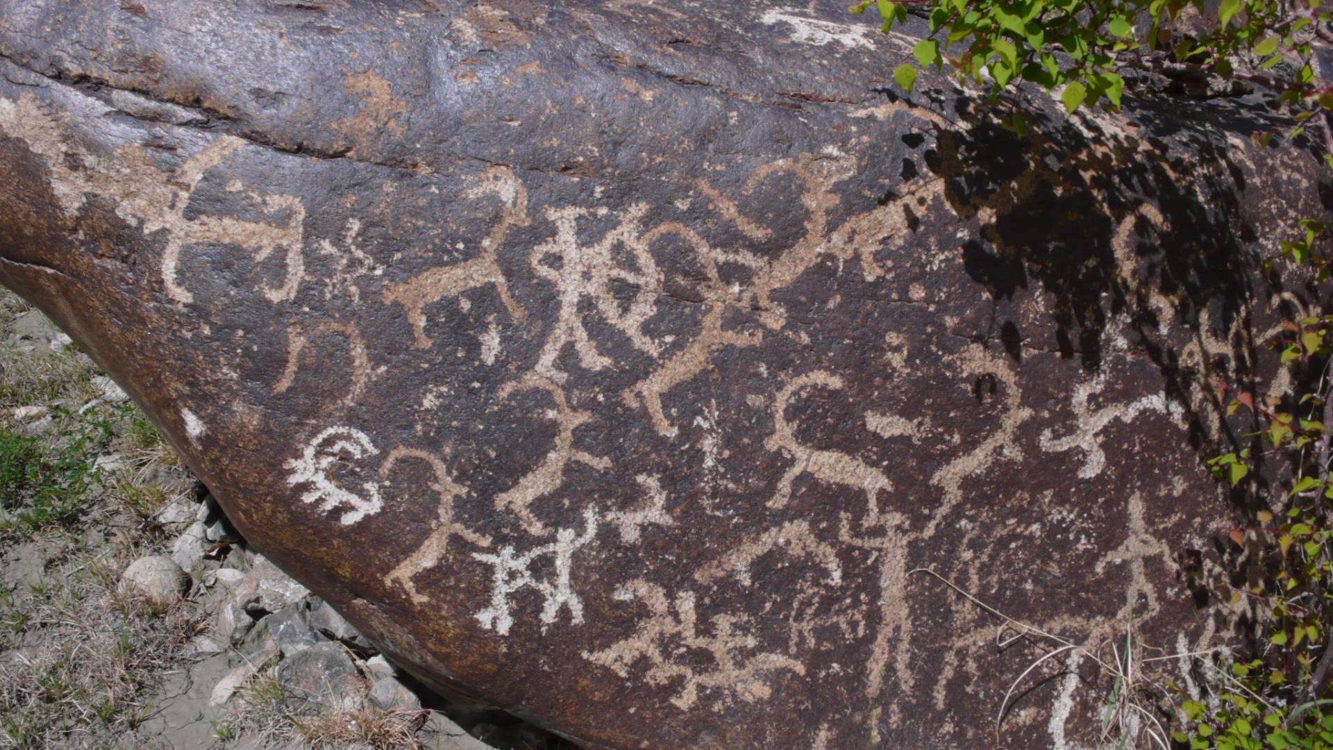
Few researches identify weathered rock carvings, shrines dedicated to protective deities, old settlement remains and graveyards associated with travellers on the historic Silk Route.
These sites reveal another side of Nubra’s past. History is not preserved only in royal buildings or major monasteries; it can also survive in rock carvings, village spaces, sacred places and the memories of local communities.
Some of these stories come from historical research, while others have been recorded through oral accounts shared by residents. Where dates or versions differ, those differences deserve to be acknowledged rather than presented as settled fact. For visitors willing to look beyond the main road, these places offer an opportunity to understand Nubra through its heritage and the people who continue to live alongside it.
From Restricted Frontier to Tourist Destination
For much of the twentieth century, Ladakh’s strategic location meant that access to the region was restricted. Ladakh opened to tourism in 1974, but Nubra remained closed to ordinary tourism for another two decades. In 1994, Nubra Valley was opened to tourists, along with other previously restricted areas, including Pangong and parts of the Dha-Hanu region.
This marked a change in how visitors encountered Nubra. A region known for agriculture, historic trade connections and strategic mountain routes gradually became part of Ladakh’s tourism circuit. But 1994 was not the beginning of travel through Nubra. Traders, travellers and explorers had crossed its routes long before modern tourism existed. What changed was the opportunity for visitors to enter the valley and experience its landscapes and communities.
Over time, Nubra became known for road journeys, monasteries, camel safaris and village stays. These experiences introduced the region to a wider audience, but its history extends well beyond the places most itineraries cover.
A History Still Unfolding
Nubra’s story cannot be reduced to a single trade route or a collection of tourist attractions. Its rivers sustained settlements, mountain passes connected distant regions, and its villages supported the movement of people and goods across the Himalayas.Beyond the established destinations lie stories of historic settlements, old forts, monasteries, traditional crafts and local beliefs. Some can be explored through historical records and archaeological evidence. Others survive through oral traditions and the memories of the people who live here.
Documenting these stories requires care: distinguishing historical evidence from local accounts, listening to community knowledge and recognizing that not every question has a definitive answer.
This first volume of Nubra Chronicles introduces the history and geography behind the familiar landscape. It is an invitation to look beyond the usual stops and understand the region through its settlements, trade connections and lesser-known heritage. The next chapter of the series will move from geography and documented history into the stories themselves: the beliefs, legends and mysteries that give Nubra’s lesser-known places their meaning. Stay tuned!
Meet the Changpas and spend a day with them in the highland pastures of Changthang Region!